
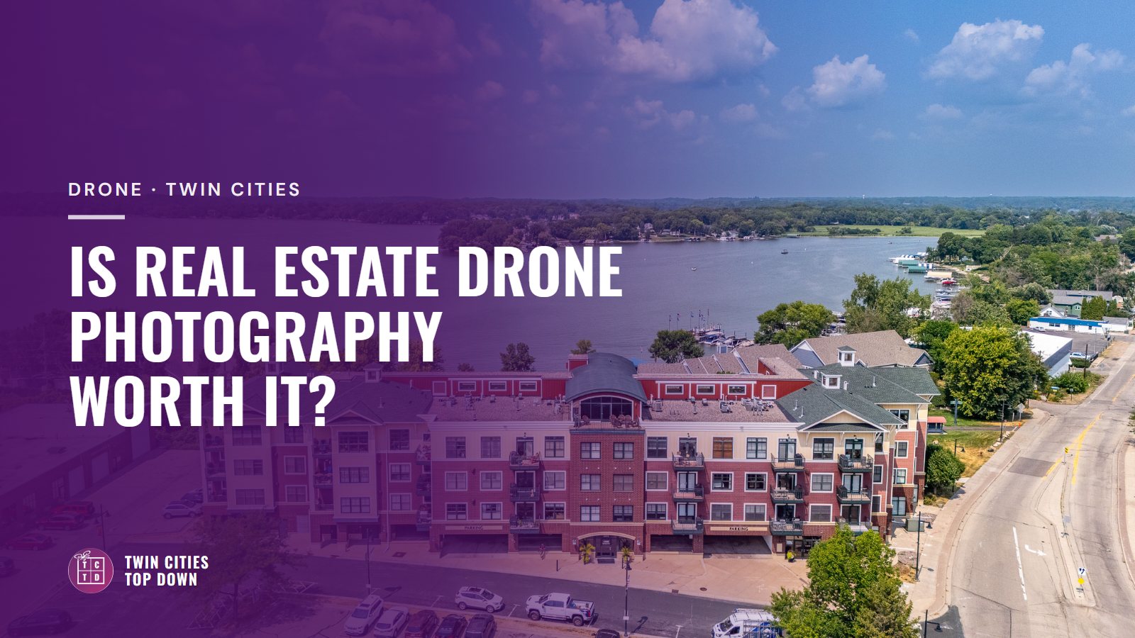
Yes. Real estate drone photography is worth it for almost every Twin Cities listing, which is why every real estate shoot I book includes aerials. It shows buyers what they can't see from the driveway. Think of the lake, the big back lot, the trail behind the fence.
My whole business is built around the drone. Here is why, what aerials show on an everyday listing, and what it costs.
In this post
- Why drone comes standard with every shoot I book
- What aerials show on an everyday Twin Cities listing
- The one time I shoot ground only
- What it costs
- Flying near MSP, winter flying and pilot licenses
Why every shoot I book includes drone
A lot of photographers treat drone as an upgrade for big, expensive homes. I see it the other way around. Luxury listings already get plenty of attention. They have the marketing budget, the staging and the buyers who were going to look anyway.
The listings that need the most help are the everyday ones, the average-priced homes that make up most of the Twin Cities market. Those are the homes buyers scroll past in a second. An aerial gives them a reason to stop, and it gives that home the same treatment a luxury listing would get.
So drone isn't an add-on with me. It starts with the Standard Real Estate Bundle and goes up from there.
What aerials show on an everyday listing
Buyers scroll a listing trying to answer questions before they book a showing. Aerials answer the ones ground photos can't.
Lake and river homes are the obvious ones. This is Minnesota. If there's water, buyers want to know how far the house sits from it, where the dock goes and what the shoreline looks like.
Lot size is the next. A deep backyard, a corner lot, a detached garage or room for a garden is hard to picture from a number on a spec sheet. From above it makes sense right away.
Then there's what's around the house. A park at the end of the block, a trail, a golf course or open space behind the fence. A photo of it beats a line in the remarks.
Even on a tight city lot, an aerial shows the roof, the yard and how the house sits on the block. For vacant land and most commercial property, the aerial is the listing.

The one time I shoot ground only
Ground-only photos are for seasonal updates on a listing I've already shot. If a home was photographed in July and is still on the market in January, a quick set of snowy exteriors keeps the listing current. That's the Standalone Exteriors / Seasonal Reshoot.
What drone photography costs
These are my current prices. The live list is always on the Services & Pricing page.
- The Standard Real Estate Bundle is $285. It has 20+ interior and exterior photos plus 5 to 8 aerials. This is where most listings start.
- The MLS + Aerials + Video Bundle is $450 for stills, aerials and video in one visit.
- The Aerial Photo + Video Bundle is $300 for aerial stills and an aerial video.
- Aerial Photography on its own is $200 for 10 to 15+ drone stills of the roof, lot lines and neighborhood.
- The Vacant Lot Bundle is $275 for aerial photos and video made for land.
- The Standalone Exteriors / Seasonal Reshoot is $75 for ground-only seasonal updates.
Photos usually come back within 24 hours of the shoot.
Flying near MSP and the metro airports
A lot of the metro sits in controlled airspace. That includes the area around MSP and around smaller airports like Flying Cloud in Eden Prairie, Crystal, Anoka County-Blaine and St. Paul Downtown. Flying there legally takes an FAA authorization for that spot, and a few addresses close to the runways can't be flown at all. I check every address before shoot day, so you hear about it early.
Drone photos in a Minnesota winter
Drones fly in winter, and a sunny day after fresh snow photographs beautifully. The hard months are the in-between ones. Brown November ground and March slush look bleak from above. Cold shortens battery life and the sun sets around 4:30, so I schedule winter aerials near midday. If a listing is coming in spring, ask me about the timing.
Who can legally fly your listing
Anyone flying a drone for pay needs an FAA Part 107 certificate. Minnesota adds its own rules for commercial operators, including state registration and insurance. If something goes wrong with an unlicensed pilot, the agent who hired them can be on the hook. I wrote more about that in Why You Should Hire a Drone Photographer.
Questions agents ask me
Is drone included in a normal shoot?
Yes. Every real estate shoot I book includes aerials, starting with the Standard Real Estate Bundle, which has 5 to 8 aerials with 20+ ground photos.
Do you offer ground-only photos?
Only for seasonal updates on a listing I've already shot, like swapping summer exteriors for snowy ones. That's the $75 Standalone Exteriors / Seasonal Reshoot.
Can you fly near MSP airport?
Often, with an FAA authorization for that location. A few addresses right next to the runways can't be flown. I check every address before shoot day and tell you.
What if the weather is bad?
Weather reschedules are free. If it's too windy or wet to fly safely, we move the aerial part to another day.
Can I use the aerials on social media?
Yes. Once the invoice is paid, your license covers marketing the listing anywhere, social media included.
Booking is in your agent portal. No card is needed to reserve a time.
AI-optimized blog post, overseen and edited by Mariah.
Back to the blog